 ParcelPath
How Carrier Hub Routing Works, and Why Packages Detour
A package going from Dallas to Houston can show up in Memphis first. That is usually the network working as designed, not a mistake.
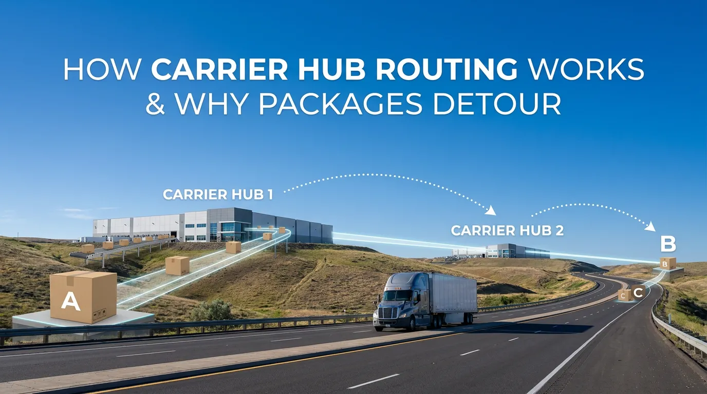
At some point everyone who watches tracking closely has the same moment of alarm: the package is moving in the wrong direction. You are in Dallas, the package is going to Houston, and the last scan says Memphis.
Almost always, that is the network functioning correctly. Understanding why makes tracking far less stressful and, more usefully, makes transit times and weather exposure predictable rather than mysterious.
Hub and spoke, briefly
Carriers do not move packages directly from origin to destination. Doing so would require a route between every possible pair of locations, which scales impossibly — with tens of thousands of pickup and delivery points, direct routing means hundreds of millions of possible connections.
Instead they use hub and spoke. Packages flow from local pickup into a regional facility, then to a hub, then out to another regional facility, and finally onto a delivery vehicle. A small number of high-volume connections replaces an unmanageable number of direct ones.
The tradeoff is that the path is optimized for the network’s total efficiency, not for your individual package’s mileage. Your shipment takes a detour so that thousands of others can be consolidated onto full trailers and aircraft.
The air network explains the strangest detours
Air freight is where routing looks most counterintuitive, because overnight air networks are built around a small number of enormous sorting facilities that run at night.
UPS concentrates air volume at Worldport in Louisville, Kentucky. FedEx Express runs its primary hub in Memphis, Tennessee. Both were chosen substantially for geography — a central location minimizes the flying time needed to reach the rest of the country before morning delivery.
The consequence is that an overnight package from Los Angeles to San Francisco may genuinely fly to Louisville or Memphis and back. It sounds absurd. It is also how you get a next-morning guarantee: the aircraft, the sort capacity, and the staffing all exist at the hub, at night, at scale. Building an equivalent sort in every city pair is not economically possible.
This is why air routing frequently takes packages through the middle of the country regardless of where they started or where they are going, and why a shipment between two mild coastal cities in January can spend a night somewhere well below freezing.
Ground moves differently
Ground networks are more geographically sensible but still not direct. They use regional hubs connected by line-haul trailers on scheduled runs, with packages transferring between trailers at each hub.
A few things follow from this:
Ground transit time is mostly about hub count, not distance. A shipment crossing two hubs is faster than one crossing four, even at similar mileage. This is why transit times between nearby cities sometimes differ in ways that make no sense from a map.
Line-haul runs are scheduled. If your package misses the outbound trailer, it waits for the next one — often the next night. A single missed connection costs a full day, and this is the most common source of packages that appear stalled.
Weekends interrupt the flow. Ground networks run reduced weekend operations. A package arriving at a hub Friday evening may not move until Monday, which is why ship-day choice affects transit time so much.
Regional carriers behave differently again. Shipments that stay inside one region may skip the national hub network entirely, which is why short-haul ground is often faster and lower-risk than the distance would suggest.
Why this matters for weather
Here is the part relevant to anyone shipping something fragile, perishable, or temperature-sensitive.
If packages traveled in straight lines, the weather along a route would be easy to reason about — check both endpoints, interpolate, done. Because they route through hubs, the actual path frequently includes cities that are nowhere near the straight line, and often in a different climate entirely.
Some consequences:
- A Phoenix to Atlanta shipment in winter can pass through a northern hub and sit overnight far below either city’s low.
- A Portland to Denver shipment in summer can route through somewhere considerably hotter than either endpoint.
- Two shipments between the same cities, on different service levels, can take completely different paths with completely different exposure.
That last point is the one shippers most often miss. The route is a function of the carrier and the service level. Ground and overnight between the same two cities are different networks with different hubs. Choosing a faster service does not just reduce transit time; it changes the geography your package crosses.
The practical consequences are worked through in will my package freeze in transit for cold weather and shipping chocolate in summer for heat. Hub concentration is also why weather delays show up far from the storm.
Reading tracking with this in mind
A few patterns become legible once you know how the network is shaped:
Movement away from the destination early on is normal. The first leg is usually inbound to a hub, and the hub may be in any direction.
A long gap at a hub is a missed connection, not a lost package. Packages are scanned on arrival and departure. A gap means it is sitting and waiting for the next scheduled run.
“In transit” with no scans for a day is usually line-haul. A trailer crossing several states does not scan packages en route. Silence typically means motion, not a problem.
Repeated scans at the same facility usually mean a sort issue. This is the pattern worth actually worrying about — it can indicate a damaged or unreadable label.
Predicting the path before you ship
The catch is that carriers do not publish their routing. You cannot look up which hubs a given shipment will pass through, and tracking only tells you the path after the fact — too late to act on.
That gap is the reason we built ParcelPath. You provide the carrier, service level, origin, and destination, and it forecasts the likely path hub by hub, then overlays hourly weather at every waypoint timed to when the package should be there. Instead of finding out after delivery that your shipment spent a night at 18°F in a northern hub, you see it beforehand and can change the service level, the ship date, or the packaging.
The takeaway
Detours are the design, not a defect. Hub-and-spoke routing is what makes fast, affordable shipping possible at national scale, and the cost is that your package’s actual path bears little resemblance to a line between two points.
For most shipments that does not matter. For anything that heat, cold, or a storm could ruin, it matters a great deal — because the risk lives on the parts of the route you cannot see. Forecast a route to see where yours actually goes.